
Case Studies
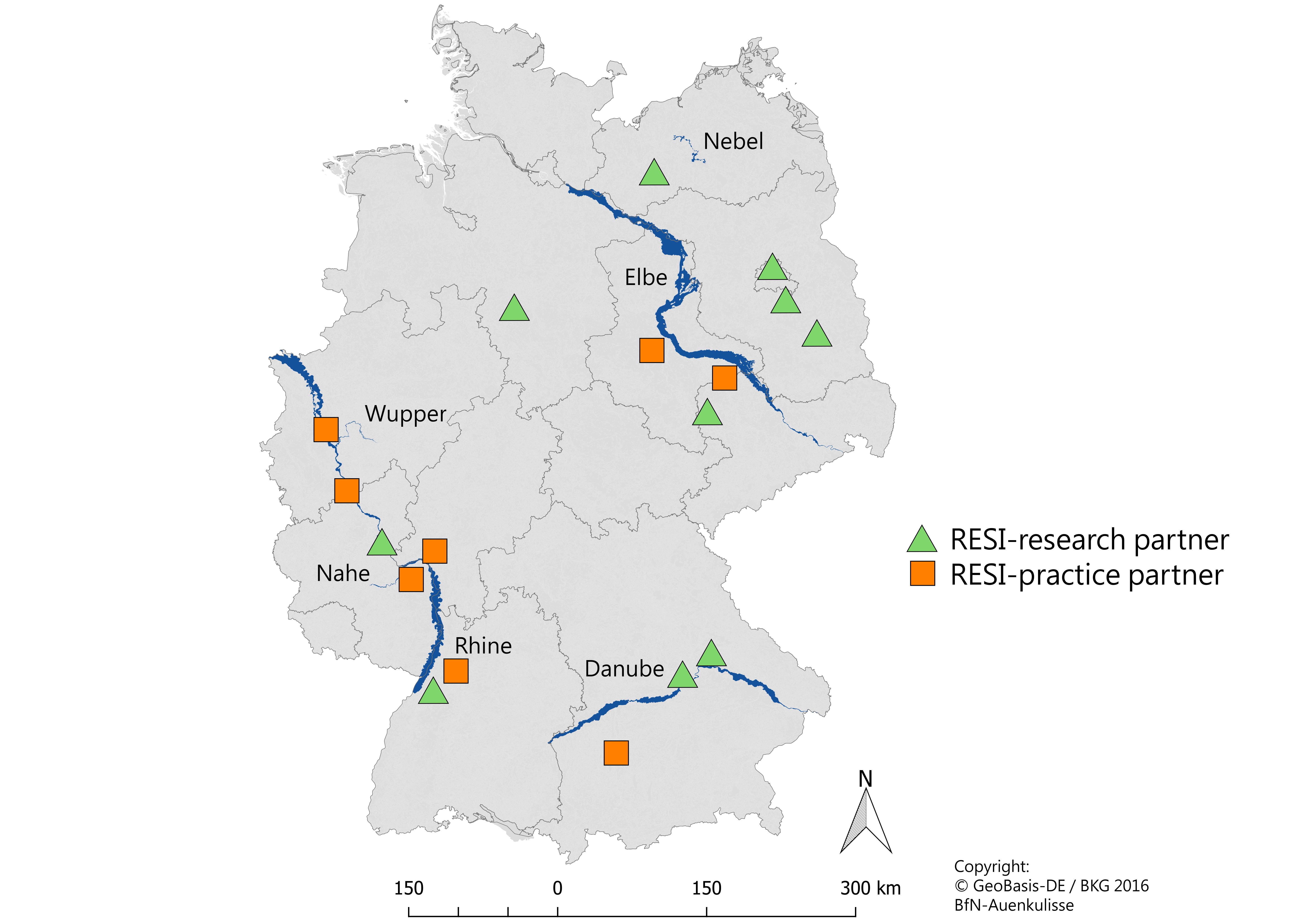
Danube (Donau)
The Bavarian section of the Danube has mostly been reshaped into a chain of artificial reservoir serving several purposes. The dams were primarily built to prevent river incision after channel straightening, but are also used for hydropower generation, and the lower river section is used for navigation. Most of the floodplains have been transformed into very fertile cropland. By these transformations, not only the ecology of the river has been much affected, but also the retention capacity for floods has been highly reduced. Due to still ongoing efforts to improve its navigability and due to the catastrophic flooding damages in 2013, the further management of the Bavarian river section is intensively discussed in society and among stakeholders.
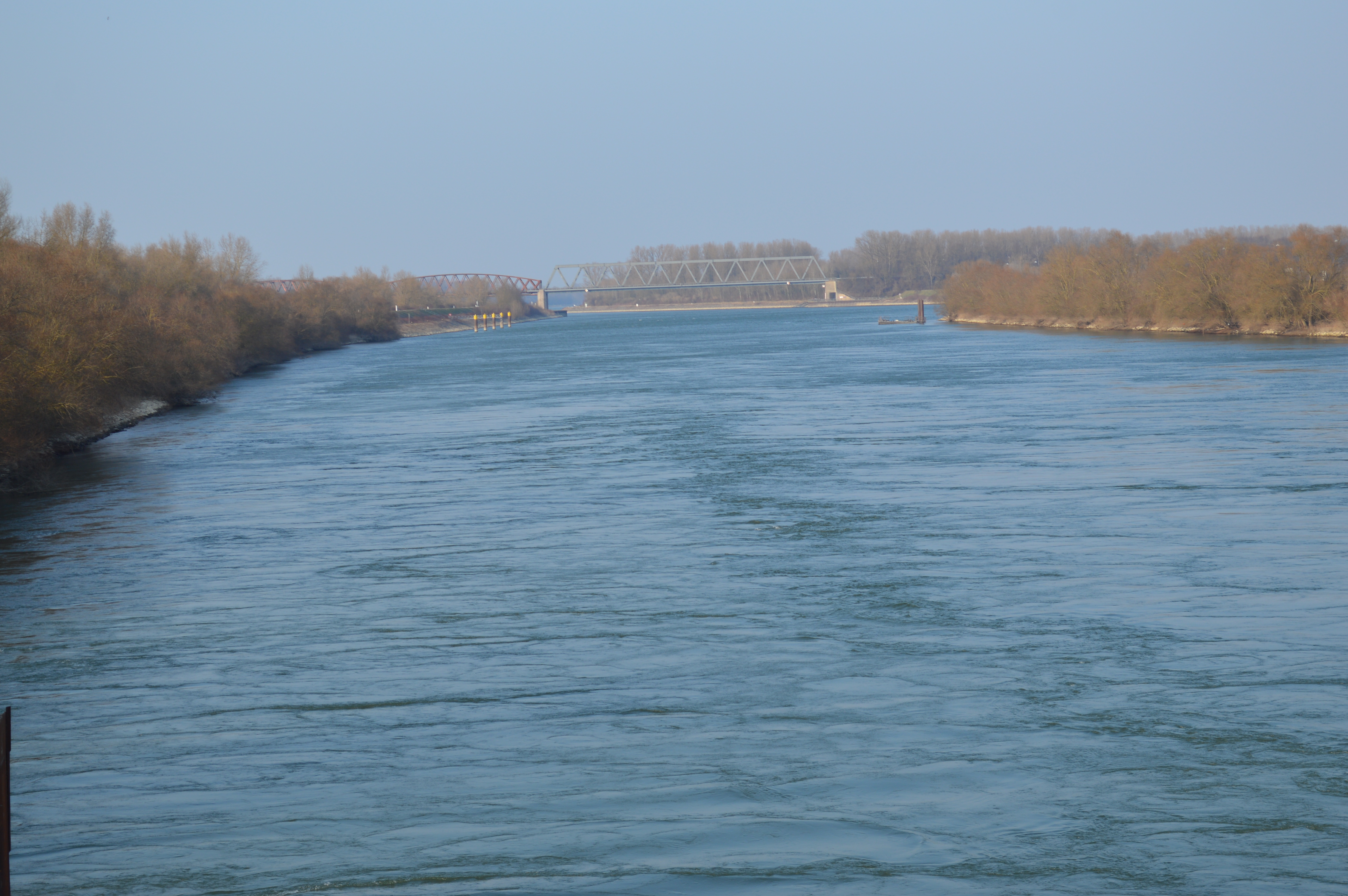
Rhine (Rhein)
A dynamic gravel river being reshaped into an engineered hydropower canal – this is the summarized history of transformation of the Upper Rhine, where some drastic trade-offs of this transformation have been well documented. The nowadays excellent navigability of the Rhine and its high hydropower generation are accompanied by increased flood risks, massive drop of groundwater levels in agricultural areas, unsolved channel erosion problems with erosion or endangerment and loss of dynamics in most valuable floodplain forests. Current plans to improve flood security interfere with remaining biodiversity in floodplain forests and interests of local community, and thus need an integrative management approach.
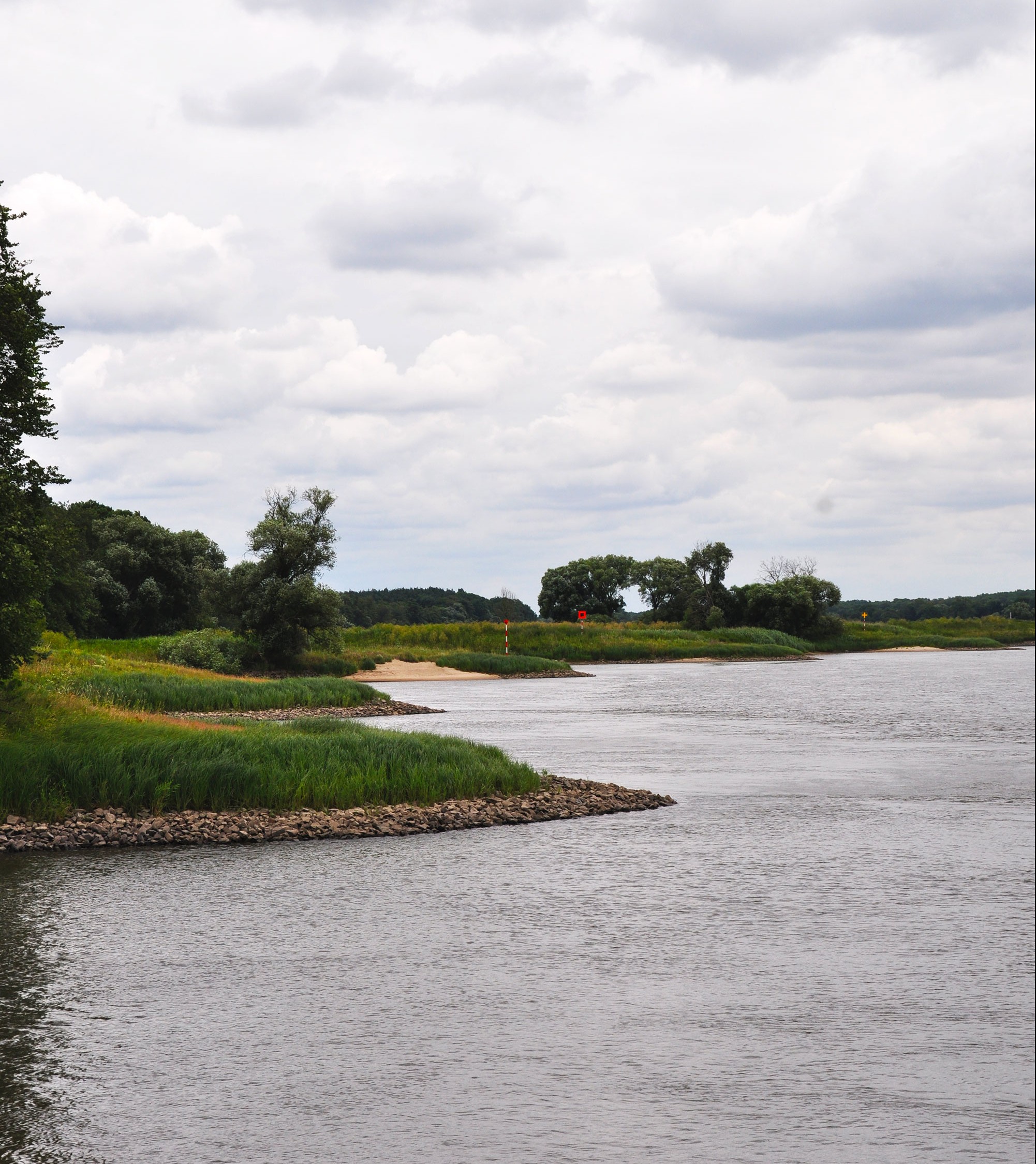
Elbe
Compared to other river sections in Central Europe, the middle section of the Elbe appears quite natural. However, the hydromorphology of the river channel has been greatly modified by the construction of 6900 groynes and bank stabilization by rip-rap in order to ensure navigability even during low flow periods. The reconstruction of most of these structures after 1990 has resulted in continuing conflicts between the navigation administration and conservationists. Ceasing ship traffic and repeated flood events causing high economic losses have led to recent constructive discussions among involved administrations and stakeholders about new management concepts for the middle Elbe.
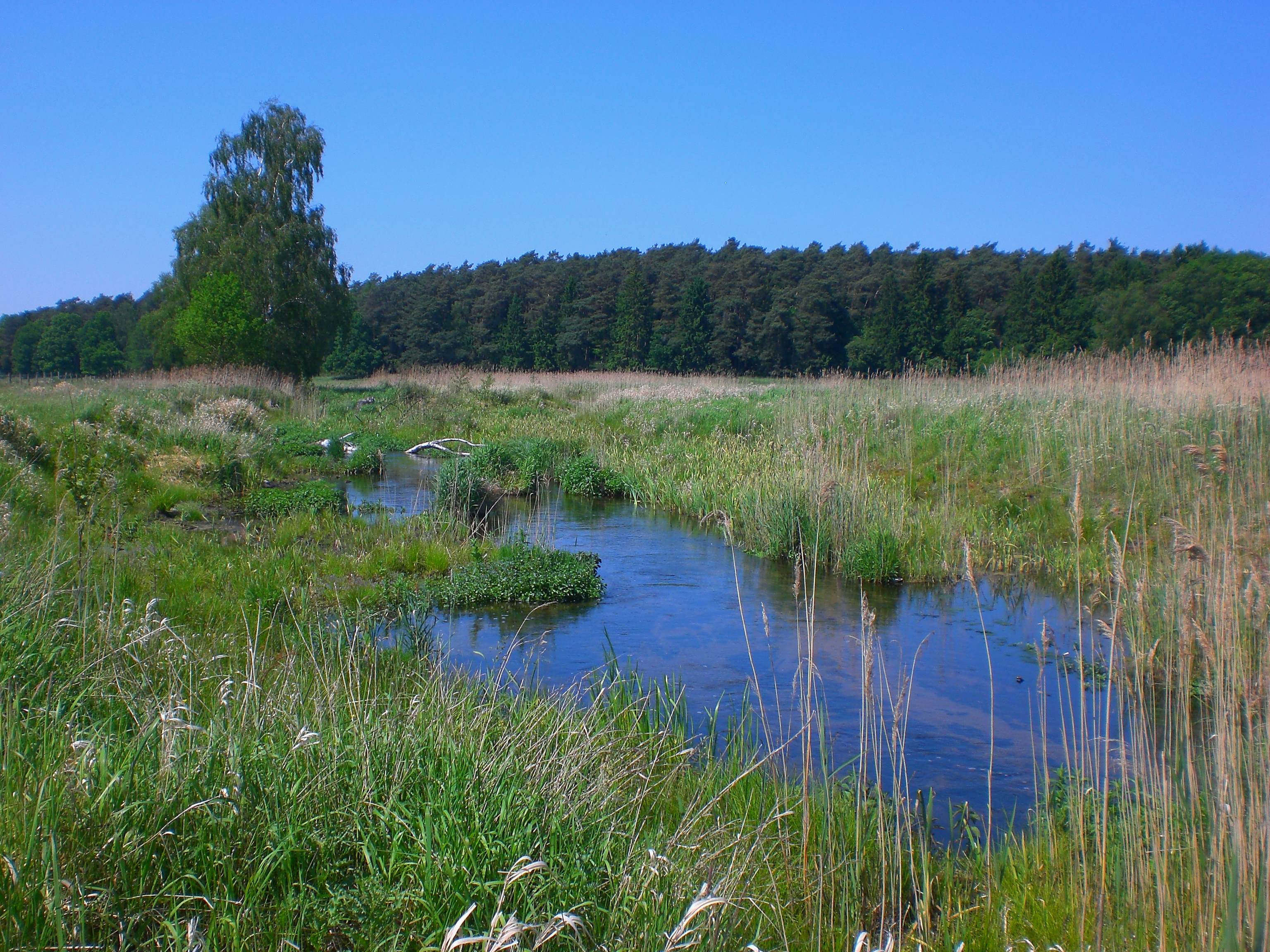
Nebel
The Nebel is a lowland river in northeastern Germany and comprises a catchment area of 998 km2. This 60 km long river originates southeast of the Krakower Lake in Mecklenburg (Western Pomerania) and forms a right tributary of the Warnow. The Nebel provides important ecological functions such as the effective retention of nutrients from agriculture, sequestration of carbon within wetlands, the provision of unique habitats, and water related recreation and tourism. These functions and the resulting ecosystem services are increased by the implementation of comprehensive restoration measures since the 1990s.
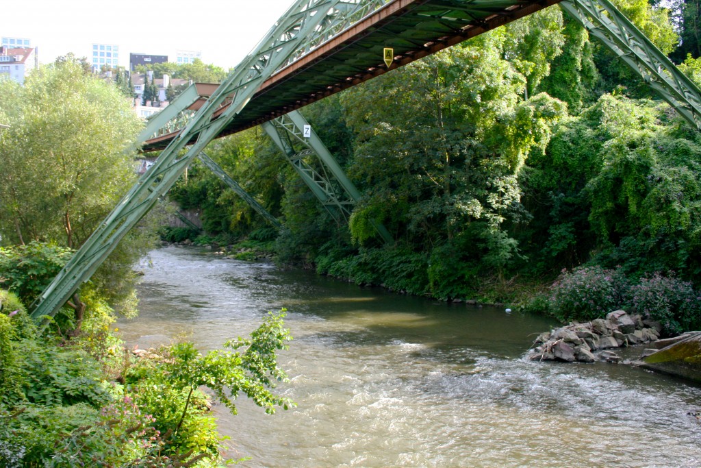
Wupper
The Wupper catchment is densely populated, resulting in intense use of water-related ecosystem services. A number of dams has been constructed for the provision of drinking water and for artificial increase of downstream discharge levels due low flow periods in order to maintain a certain water quality. These artificial reservoirs and their surroundings now also serve for intense recreational use. In order to secure high water quality, agricultural practices have been adapted upon agreement, aiming to minimize emissions of plant nutrients and pesticides. Nature conservation benefits from these strict land management guidelines, too. The excellent availability of data on these various topics collected and provided by the Wupperverband enable a comprehensive ecosystem service assessment throughout the whole catchment area.
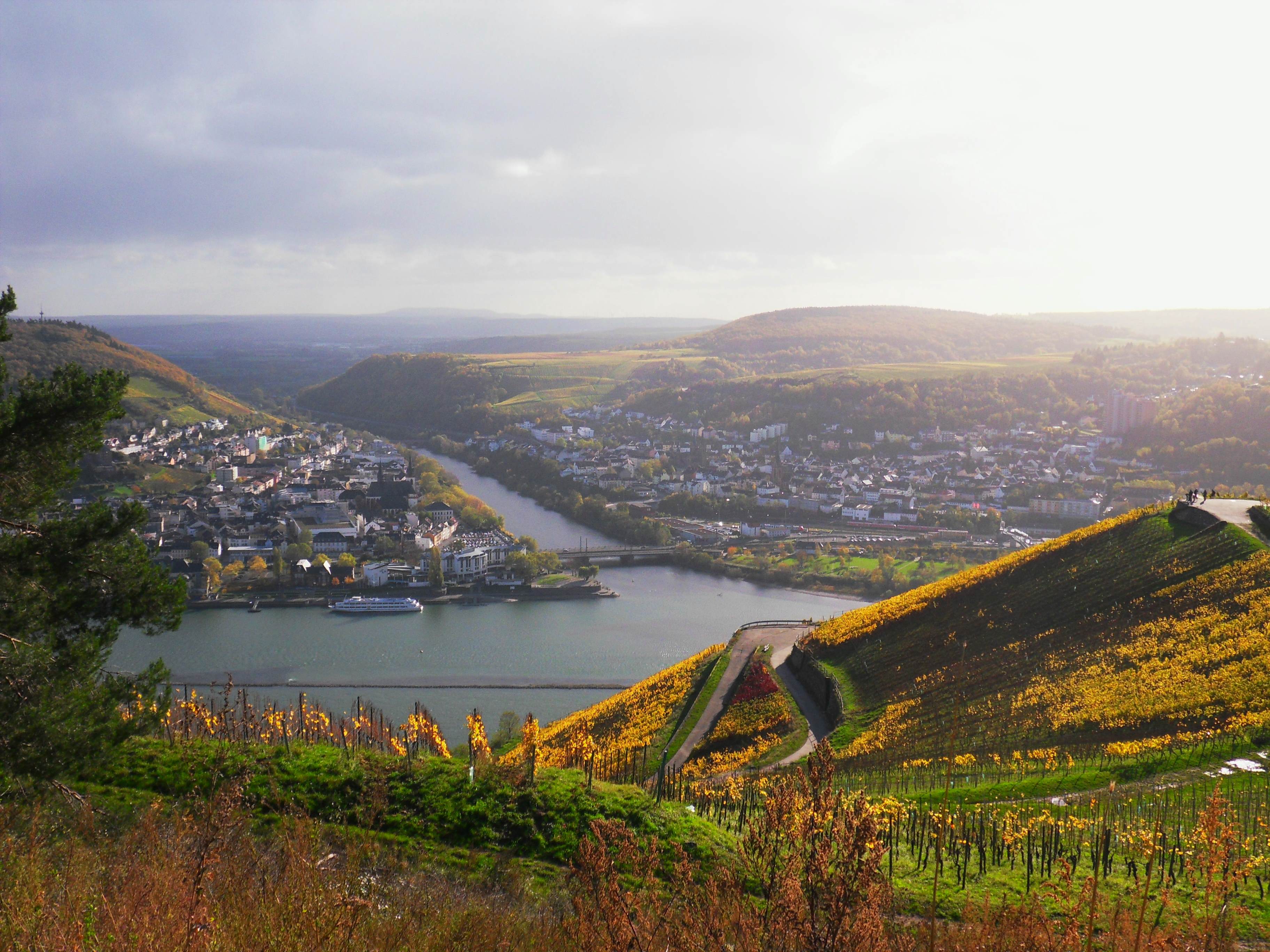
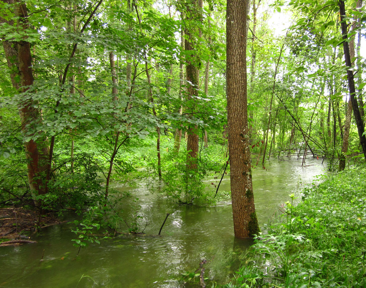
Nahe
The 125 km long river Nahe is located in south-west of Germany and covers a catchment area of about 4060 km2. The river crosses the Saarland and Rheinland-Pfalz (Rhineland-Palatinate) and forms a left tributary of the Rhine. The case study in the low mountain region with narrow valleys is dominanted by agricultural areas whereby viticulture plays a special role in this region. The original river landscape was changed by intensive use and waterway construction. After the floods in the years 1993 and 1995 numerous measures have already been implemented (for example to strengthen flood retention) with the aim of a functional and sustainable cultural landscape. The active floodplain covers an area of 14.9 km2 and the non-active floodplain 9.9 km2, but a study by the LfU Rheinland-Pfalz shows development opportunities for a water development area restoring the floodplain and the river to a potentially natural status.